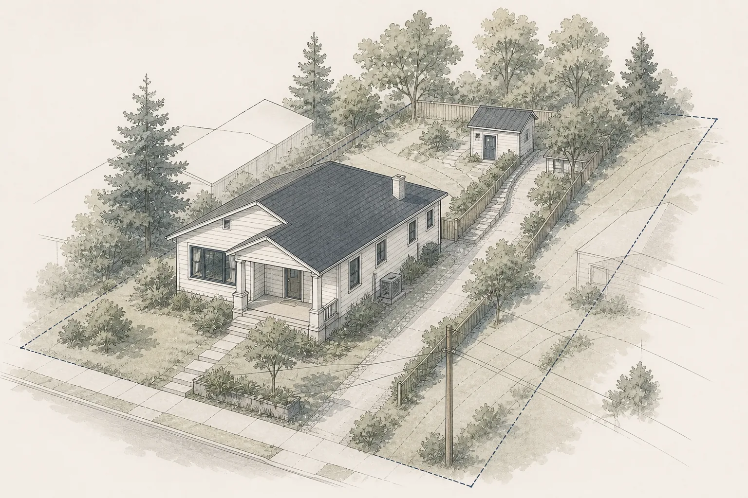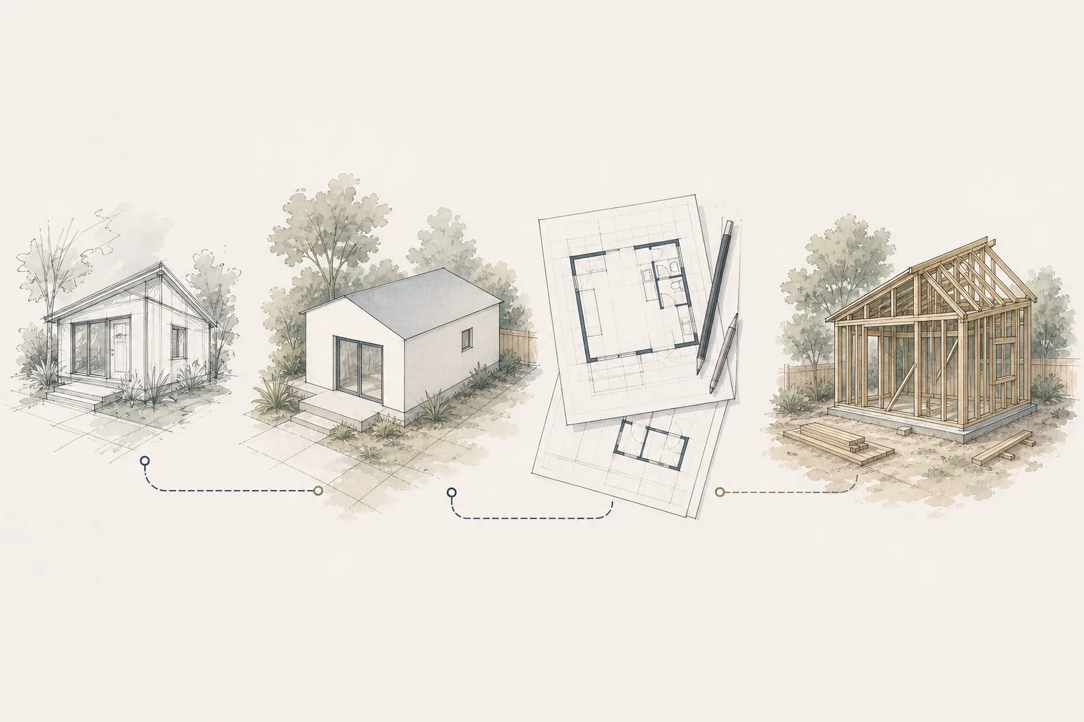
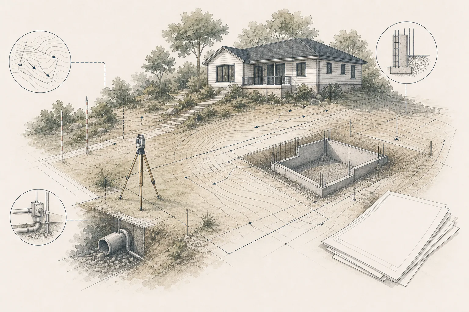
An ADU may begin as a simple idea—add a small home in the backyard, convert a garage or create space for a family member—but the property still has to support the design. Boundaries, grades, soil, foundations, utilities, drainage and existing structures can all affect what is practical.
That does not mean every ADU needs every survey or technical report. The right scope depends on the property, the project type, the design and the reviewing jurisdiction. The goal is to identify the questions that must be answered, then commission the work needed to answer them.
Why technical due diligence matters
Technical studies can reveal conditions that change the ADU’s location, size, foundation, utility plan, approval path, budget or schedule. Finding those conditions before the design is advanced usually creates more options than discovering them during permit review or construction.
The studies also serve different purposes. A boundary survey locates legal property lines. A topographic survey records physical elevations and site features. A geotechnical investigation evaluates subsurface conditions. A structural assessment considers an existing building. One cannot automatically substitute for another.
Begin with records and a feasibility review
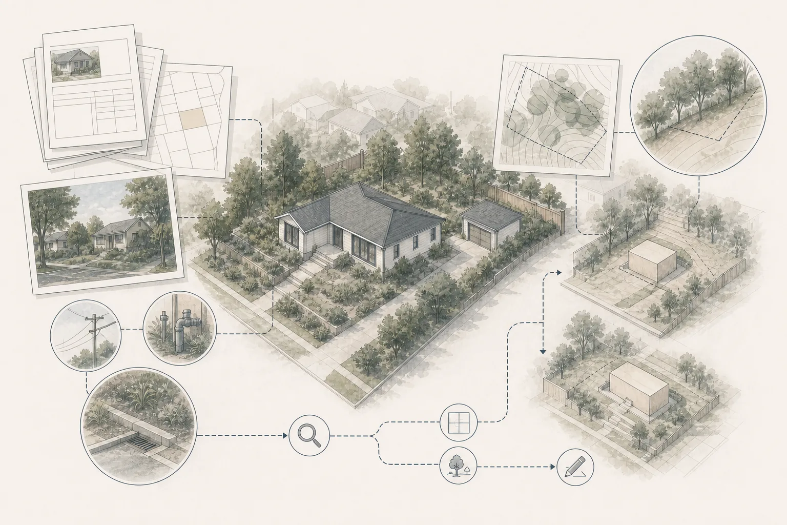
Before ordering fieldwork, collect the information that already exists. Useful records may include:
- A prior boundary or topographic survey
- Recorded plats, easements and title documents
- Original house plans and later permit records
- Existing geotechnical, drainage or structural reports
- Utility bills, service records and available as-built information
- Septic permits or well records
- Flood, wildfire, landslide or other hazard mapping
Existing information may narrow the questions, but it may be incomplete, outdated or unsuitable for a new permit application. A feasibility review can help determine what can be relied upon, what should be verified and which specialists should be involved next.
Land surveys
Boundary survey
A boundary survey identifies the property lines and may locate monuments, encroachments and other legal or physical evidence relevant to the parcel. It can be important when an ADU is proposed near a setback, easement, fence or neighboring improvement.
A fence, wall, hedge or online parcel map should not be assumed to represent the legal boundary. When the design depends on a precise relationship to a property line, ask the design professional and local agency whether a current survey by a properly licensed land surveyor is needed.
Topographic and site survey
A topographic survey records elevations and visible site features. Depending on the requested scope, it may show buildings, walls, trees, hardscape, drainage features, utility structures and other improvements.
This information can support site planning, grading, drainage, accessible routes, foundation design and the evaluation of height. Sloped or tightly developed lots often require more accurate site information than a flat, open property.
ALTA, subdivision and specialty surveys
Some properties have title, subdivision, condominium, shared-access or easement conditions that call for a more specialized survey product. These are not routine requirements for every ADU. The appropriate scope should be defined by the land surveyor, design team, title professional and reviewing agency based on the issue being investigated.
Geotechnical and soils investigations
A geotechnical investigation evaluates subsurface conditions that can influence foundations, retaining walls, slopes, earthwork, drainage and construction recommendations. It may involve field exploration, laboratory testing, engineering analysis and a written report.
A geotechnical report may be requested or advisable when the property has:
- Steep slopes, fills or retaining walls
- Expansive, compressible or otherwise problematic soils
- Known landslide, liquefaction, fault or settlement concerns
- Unusual foundation loads or construction methods
- Evidence of movement, cracking or drainage problems
- Local code or permit requirements for site-specific recommendations
Public soil mapping can be useful for early screening. The USDA Natural Resources Conservation Service explains that soil surveys can identify characteristics such as slope, depth to bedrock, water table, flooding and other limitations. However, broad mapping is not a substitute for a site-specific investigation when an engineer or jurisdiction requires one.
Structural engineering
New detached ADUs
A new detached ADU typically needs a structural design for its foundation, walls, roof and connections. The design may follow prescriptive code provisions where allowed or may require project-specific engineering because of the building configuration, site conditions, materials or local hazards.
Garage conversions and additions
A conversion or addition may require an assessment of the existing foundation, framing, roof, openings and connections. The fact that a garage or other structure is already standing does not prove it can support a residential conversion or new loads.
The structural professional may request selective demolition, field measurements, material testing or additional investigation where important conditions are concealed. That uncertainty should be identified in the scope instead of hidden in an assumption.
Civil engineering, grading and drainage
Civil engineering may be needed to address grading, drainage, stormwater, retaining walls, driveway access, utility routing or work in the public right-of-way. Requirements often increase when a property is steep, drainage must cross developed areas or the ADU changes the amount and direction of runoff.
Possible deliverables include:
- Grading and drainage plans
- Stormwater calculations or treatment documentation
- Erosion-control measures
- Retaining-wall coordination
- Driveway, access or right-of-way plans
- Utility plans and profiles
A site plan prepared for zoning review and a civil engineering plan are not necessarily the same document. Confirm what the permitting agency expects and who is responsible for preparing it.
Utility investigations
Utility feasibility can affect both the design and the construction budget. Existing lines may be undersized, poorly located, shared, damaged or undocumented. Capacity and connection rules may also depend on the serving utility or local authority.
Sewer
Investigation may include locating the lateral, confirming its route and elevation, reviewing available video inspection or testing, and determining whether the ADU can connect by gravity. A new or upgraded lateral, pump or work in the street may require additional design and approvals.
Septic
Adding a dwelling can change the required wastewater capacity. The U.S. Environmental Protection Agency notes that individual septic systems are generally regulated by state, tribal and local authorities, and that local programs may require a site assessment to evaluate soils and setbacks. Records, system condition, reserve area and local bedroom or flow calculations may all matter.
Water, fire service and drainage
The team may need to confirm water-meter and service capacity, available pressure, backflow requirements, fire-flow or sprinkler implications, and the location of drainage connections. The responsible water, fire and building authorities should define their current requirements.
Electrical and gas
An electrical load calculation can help determine whether the existing panel and service can support the ADU and any planned all-electric equipment or vehicle charging. The utility may require a service upgrade, new meter location or other infrastructure work. If gas is proposed, the route, capacity and current local restrictions or electrification requirements should also be confirmed.
Flood, environmental and other specialty reports
Some sites require investigations beyond ordinary surveying and engineering. Examples include:
- Flood-zone review, elevation information or floodplain documentation
- Wildfire or fire-access review
- Geologic-hazard or slope-stability analysis
- Arborist reports or tree-protection plans
- Historic-resource review
- Wetland, habitat or environmental review
- Noise studies or other location-specific analyses
FEMA identifies its Map Service Center as the official source for National Flood Insurance Program flood-hazard information. A map can support early screening, but the local floodplain administrator and qualified professionals determine which project-specific documentation is required.
Energy and code-compliance documentation
Permit documents may also require energy calculations, mechanical design information, ventilation documentation, truss or component engineering, fire-resistance details and other code-compliance submittals. These are often prepared during design rather than as standalone feasibility reports, but the proposal should identify who provides them.
How to decide which studies to order
Use a question-driven sequence:
- Identify the project concept and likely location.
- Review zoning, records, hazards, access and known utilities.
- Ask the designer and jurisdiction which facts must be verified.
- Define the exact scope and intended use of each survey or report.
- Order time-sensitive fieldwork before decisions depend on its results.
- Share final reports with every professional whose work relies on them.
Ordering every possible report at the beginning can waste time and money. Waiting until permit review to investigate an obvious constraint can create redesign and delay. The appropriate timing falls between those extremes.
Avoid these common mistakes
- Relying on online maps where field verification is needed
- Assuming a prior report covers the new ADU scope
- Ordering a survey without defining what must be shown
- Treating a preliminary screen as final engineering
- Leaving utility investigation until construction pricing
- Failing to distribute reports to the full project team
- Assuming the permit agency will identify every construction risk
How Foundation can help
Foundation helps homeowners organize early project questions before they commit to full design or construction. The Foundation Feasibility Report™ can identify available records, visible constraints, jurisdictional questions and likely follow-up investigations so the homeowner can define the next phase more deliberately.
A Foundation Strategy Session™ can also help clarify priorities, responsibilities and the questions to ask surveyors, designers, engineers, utilities and builders. Foundation does not perform land surveying, architectural or engineering services, certify site conditions, or replace advice from qualified professionals and reviewing agencies.
Jurisdiction note
Survey, engineering, technical-report and permit requirements vary by property and jurisdiction. They may also change as the design develops or new conditions are discovered. Confirm the current scope with the applicable planning, building, public works, utility, fire and environmental authorities and with properly licensed professionals.