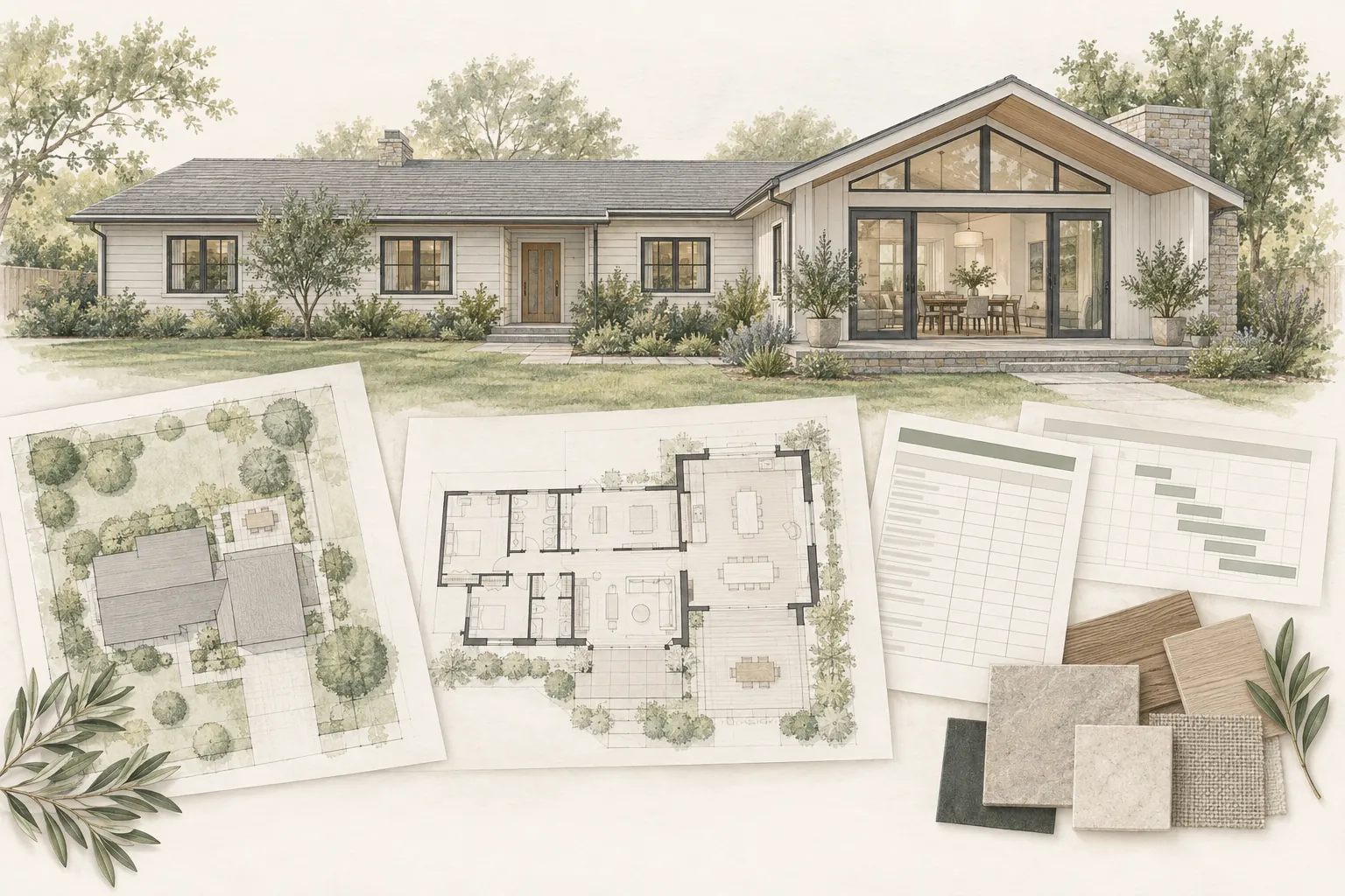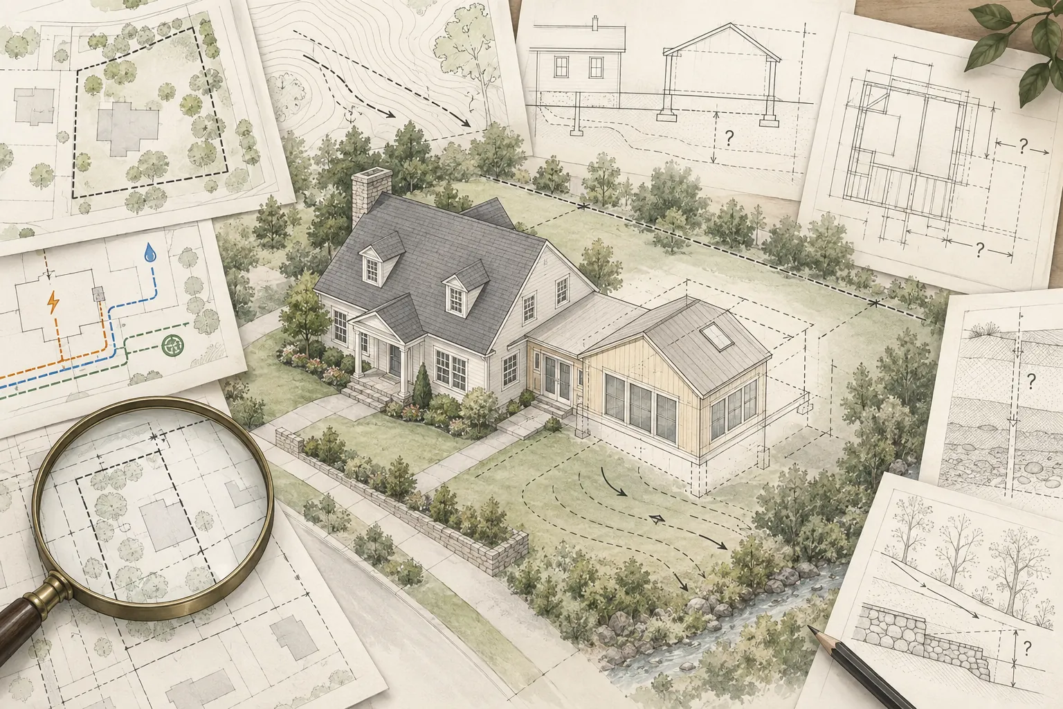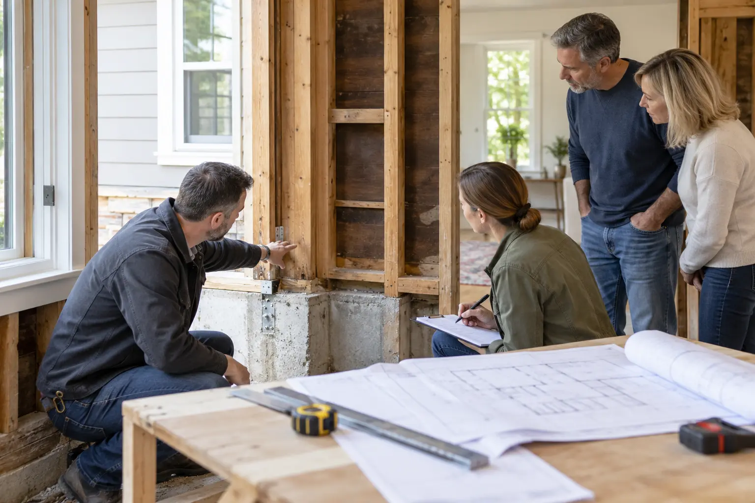

A home may have enough yard for an addition and still have little legally buildable area. Zoning, setbacks, height limits, lot coverage, floor-area rules, easements, overlays, prior approvals, and site conditions work together to determine what can be built.
These rules vary by jurisdiction, zone, property, and project type. Early research should identify the controlling standards and major open questions before the homeowner invests heavily in a design that may not be approvable.
Zoning Is the Starting Point, Not the Entire Answer
A zoning designation establishes the basic use and development framework for the property. It may address allowed residential uses, density, building placement, size, height, parking, open space, and other standards.
The base zone is only one layer. A property may also be affected by:
Planned-district or neighborhood-specific regulations
Historic districts or designated resources
Coastal, flood, wildfire, hillside, environmental, or airport overlays
Subdivision maps, easements, deed restrictions, or recorded covenants
Conditions attached to a prior discretionary approval
Homeowners association or private design restrictions
State laws that modify or preempt some local standards
A zoning map alone cannot establish complete feasibility. Confirm all applicable layers and how the jurisdiction interprets them for the proposed work.
Setbacks Define Where Buildings May Be Located
A setback is a required distance between a building or structure and a property line, street, alley, another structure, or designated feature. Common categories include front, street-side, interior-side, and rear setbacks.
Setback rules may change based on:
Zone and lot dimensions
Corner, through, flag, or irregular lot configuration
Existing building placement
Building height or number of stories
Whether the element is enclosed living area, a porch, deck, stair, eave, bay, or other projection
Fire separation and openings near property lines
Special overlays, easements, or prior approvals
Do not measure setbacks from a fence, curb, sidewalk, or assumed edge of the yard unless that feature is confirmed as the property line. A survey or other reliable boundary documentation may be necessary.
Allowed Projections Are Not Added Buildable Area
Codes may allow certain architectural elements to project into a required setback. These allowances can be limited by element type, size, height, fire rating, location, or distance from the property line.
An eave, chimney, bay window, landing, or uncovered stair may be treated differently from enclosed floor area. Do not assume that one allowed projection creates permission for the rest of the addition to occupy the same area.
Height Limits Depend on How Height Is Measured
A stated height limit is not enough without the jurisdiction’s measurement method. Height may be measured from existing grade, finished grade, a reference datum, an average grade plane, or another defined point. Sloped sites and stepped buildings can make the calculation complex.
Height review may also consider:
Roof type and highest point
Parapets, railings, equipment, chimneys, and other projections
Upper-story setbacks or daylight-plane requirements
Neighborhood bulk and scale standards
View, coastal, airport, or historic restrictions
Privacy or window-placement standards
A second story can be below the numerical maximum and still conflict with upper-story placement, massing, or design requirements.
Lot Coverage Limits the Building Footprint
Lot coverage generally compares the area covered by buildings or structures with the lot area, but the exact definition varies. The jurisdiction determines which elements count and which may be excluded.
Potentially counted areas may include the primary home, attached or detached garages, accessory structures, covered patios, porches, projections, and other roofed or enclosed areas. Decks, pools, paving, and uncovered features may be regulated separately even when they are not included in building coverage.
Verify both the calculation and the source dimensions. An inaccurate lot area or incomplete inventory of existing structures can make the remaining coverage appear larger than it is.
Floor Area and Floor-Area Ratio Are Different From Lot Coverage
Floor-area limits regulate how much floor area may be built, while lot coverage regulates how much of the ground is occupied. A two-story home can have modest lot coverage but substantial floor area.
Floor-area calculations may treat garages, basements, attics, double-height spaces, covered areas, stairs, or accessory structures differently. Some jurisdictions use a floor-area ratio; others use a maximum area, a sliding scale, or zone-specific rules.
A project must satisfy both footprint and floor-area standards when both apply.
Open Space, Landscaping, and Permeability
Some properties must retain minimum open space, landscaped area, permeable surface, or usable yard dimensions. These requirements can reduce the area available to build or pave even when setbacks and lot coverage appear to allow the addition.
A design should also consider actual livability. Using every available inch may leave no functional yard, drainage area, construction access, or separation from neighbors.
Easements Can Restrict Otherwise Buildable Areas
An easement grants rights over part of a property for utilities, access, drainage, maintenance, public use, or another recorded purpose. Building within an easement may be prohibited or require approval from the easement holder.
Common examples include:
Sewer, water, gas, electrical, communications, and storm-drain easements
Shared driveway or access easements
Drainage and flood-control easements
Slope, maintenance, or wall easements
Public rights-of-way or future street dedications
Visible utility lines do not show every recorded easement, and a recorded easement does not prove the exact field location of the facility. Title documents, recorded maps, utility records, and survey information may all be relevant.
Existing Buildings May Be Legally Nonconforming
An older home may sit closer to a property line, exceed current coverage, or have other conditions that were legal when built but do not meet current standards. This is often called a legal nonconforming or previously conforming condition, though terminology varies.
The ability to maintain, alter, or expand that structure depends on local rules. A homeowner should not assume that the addition can continue an existing wall line or that current setbacks automatically apply to every part of the old building.
Permit records help distinguish legally established conditions from unpermitted work. The two are not treated the same.
Prior Approvals Can Carry Conditions
A subdivision, variance, conditional-use permit, development permit, historic approval, coastal approval, or other prior action may impose conditions that still affect the property. These conditions may regulate building envelopes, parking, landscaping, drainage, materials, access, or future modifications.
Review recorded and jurisdictional records before relying only on today’s base-zone table.
Parking and Driveway Requirements
An addition may change bedroom count, floor area, use, or access in ways that affect parking or driveway requirements. The project may also remove an existing parking space, reduce maneuvering area, or place construction within required access routes.
Parking rules can depend on location, transit access, property type, existing development, and local or state law. Confirm the current rules and whether the proposed addition changes the property’s compliance.
Fire Access and Separation
Building and fire requirements can limit openings, exterior-wall construction, eaves, projections, vegetation, and access near property lines. Fire-apparatus access, hydrant distance, brush management, wildfire zones, or emergency pathways may also affect the site plan.
Zoning permission does not replace building or fire-code compliance. An addition located within the zoning envelope may still require a different layout or construction assembly.
Drainage, Slopes, and Environmental Constraints
Grading, retaining walls, drainage routes, flood hazards, steep slopes, protected habitat, trees, wetlands, soils, and coastal conditions can reduce practical buildable area or trigger additional review.
A flat-looking yard may still direct water through the proposed footprint or contain fill, expansive soil, buried improvements, or a drainage obligation. Civil, geotechnical, environmental, or survey input may be needed depending on the site and jurisdiction.
Utilities Can Create a Second Building Envelope
Existing sewer, water, gas, electrical, communications, irrigation, and drainage lines may cross the area allowed by zoning. Required clearances, maintenance access, easements, or utility-provider rules can make that location impractical.
Some jurisdictions or providers may require service upgrades with an addition. If construction crosses an existing sewer or water line, relocation or replacement of affected sections may be required. Confirm utility scope before finalizing the footprint.
Historic, Coastal, and Design Review
Special-review areas may regulate demolition, visibility, massing, height, roof form, exterior materials, windows, landscaping, and archaeological or cultural resources. The approval path may be discretionary and involve public notice or additional documentation.
A project that meets numerical setbacks and coverage can still require design changes or separate approval under these programs.
Private Restrictions Are Separate From Zoning
Recorded covenants, deed restrictions, architectural controls, and homeowners association rules are private limitations. The building department may issue a permit without determining private compliance, and private approval does not replace a public permit.
Homeowners should obtain appropriate legal guidance when private restrictions are unclear or disputed.
Why Online Maps Are Only a Screening Tool
Online zoning, parcel, flood, fire, and utility maps are useful starting points, but they can contain generalized boundaries, incomplete records, or disclaimers. Parcel lines displayed on an aerial image may not be survey-grade.
Use mapping to identify questions, then confirm critical dimensions, designations, and records through the authority, title information, survey work, or qualified professionals as appropriate.
A Practical Early Zoning Checklist
Confirm the property address, parcel number, jurisdiction, and zoning designation.
Identify base-zone standards and every applicable overlay, planned district, or special-review area.
Obtain reliable lot dimensions, property lines, easements, rights-of-way, and existing-building locations.
Calculate existing setbacks, lot coverage, and floor area using the jurisdiction’s definitions.
Map the preliminary addition footprint and height against the applicable standards.
Check parking, open space, fire access, utilities, drainage, slopes, and environmental constraints.
Review permit records and conditions from prior approvals.
Document unclear items and obtain written or otherwise reliable confirmation before design advances.
San Diego Note — Current Review Required
For properties within the City of San Diego, the Development Services Department directs applicants to identify the property’s current zoning through the City’s Zoning and Permit Portal (ZAPP) and then apply the Land Development Code provisions for that designation. Planned districts and overlays may add separate standards.
City Information Bulletin 140 describes the permitting process and submittal guidance for qualifying one-story additions and remodels to single-family homes and duplexes; project-specific construction plans are still required. City Information Bulletin 122 describes typical site-plan content, including property and lot lines, easements, rights-of-way, and existing and proposed structures.
This San Diego note was checked against City sources on October 25, 2026. Do not use it as a substitute for a current property-specific zoning determination. City forms, code provisions, maps, interpretations, and information bulletins can change before publication or project submittal.
Do Not Design to the Absolute Maximum Too Early
A theoretical zoning envelope does not account for wall thickness, structure, roof drainage, construction tolerances, utility clearances, grading, window wells, equipment, access, or a functional floor plan. Leaving no margin can make routine design development trigger repeated redesign.
Early feasibility should identify a credible buildable range rather than promise the largest possible addition.
Foundation Tip
Ask for the source and definition behind every zoning number. “Five-foot setback” is incomplete unless you know which property line, what point on the building is measured, which zone or overlay controls, whether projections are allowed, and how the property line was established.
How Foundation Can Help
Foundation can help homeowners organize zoning and site questions before committing to a design direction. A Foundation Strategy Session can clarify the proposed use and likely constraints. A Renovation Roadmap™ can track records, responsibilities, and confirmation steps, while a Foundation Feasibility Report™ can help document zoning, setbacks, coverage, easements, utilities, and other property-specific questions for professional or jurisdictional follow-up.
Foundation does not issue zoning determinations, surveys, legal opinions, architectural plans, engineering, or permit approvals. The applicable authority and qualified professionals remain responsible for confirming requirements and designing the project.
Important Disclaimer
This article provides general educational information and is not legal, zoning, surveying, architectural, engineering, environmental, title, fire-code, building-code, or construction advice. Requirements vary by jurisdiction and property and may change. Confirm current property-specific requirements with the applicable authority and appropriately qualified professionals.